
Solving complex challenges with advanced techniques.
Deformation Monitoring
Regular monitoring of high-story buildings, reservoirs, and large structures to detect displacement over time.
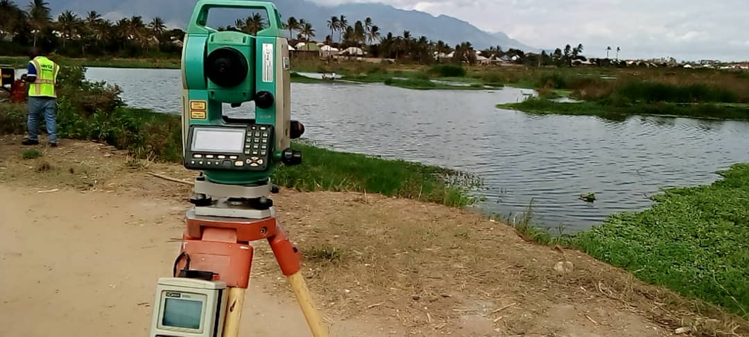
Hydrographic/Bathymetric Surveys
Specialized underwater surveying for harbors, channels, and marine construction.
Quarry Volume Calculations
Utilizing precise surveying techniques to measure quarry aggregates for accurate volume calculations and stockpile management.
Aerial Mapping by RPA (Drone)
Efficient and accurate aerial surveys and mapping using Remotely Piloted Aircraft for large or inaccessible areas.